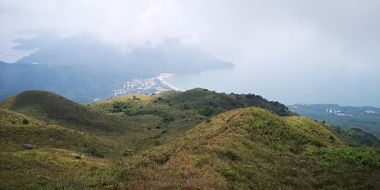
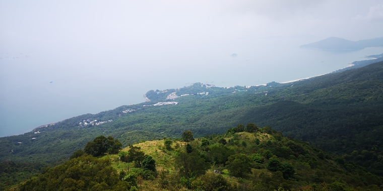
Yi Tung Shan Tsing Lung Ridge is located next to Tsing Lung Stream which is a very hidden trail that connects Tai Tung Shan and Pui O. However, it does not have any visitors but you can enjoy the scenic views of Pui O and Chi Ma Wan Peninsula . You can also enjoy Miscanthus in winter.
When compared to Dog’s Teeth, the route of Tsing Lung Ridge is safe but you need to climb for some locations. Also, the route is quite clear but there are only little markings for direction. As it is not a formal route, you need to get well prepared beforehand as it is a ridge and it is quite slippery and has large climbing. It is not recommended to go there when the weather is too hot, raining and foggy. Please be aware of not going to Tsing Lung Stream as it is quite dangerous and accidents happened before.
----- 廣告 Ad -----
In the views of trail running, Tsing Lung Ridge can bypass the South Lantau Country Trail and Pui O Catch Water Road and it is a shortcut road to Pui O.
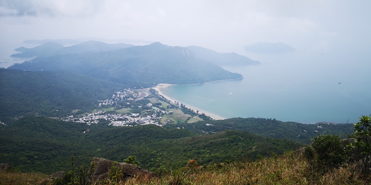
Directions
- It is located between South Lantau Country Trail C106 and C107
- Hidden trail next to L120 of Pui O Catch-water road
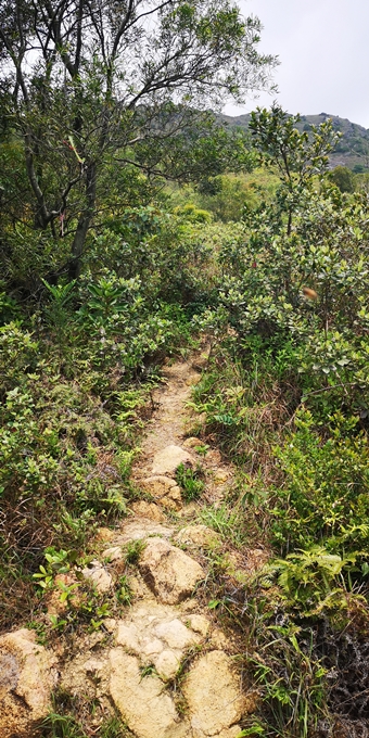
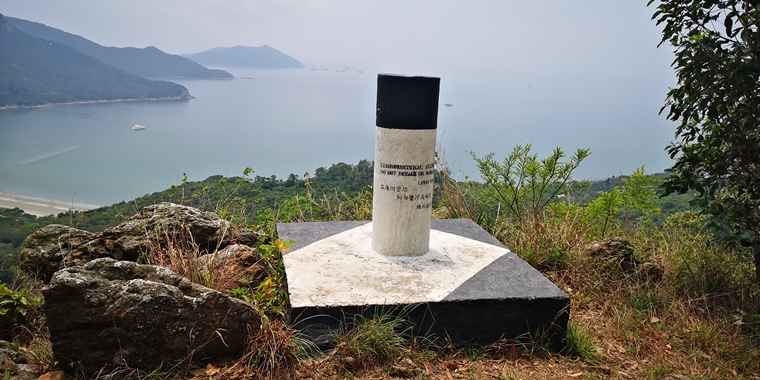
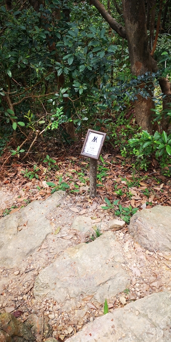
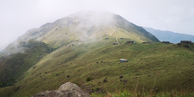
If you are week at directions, you can go to the peak of Yi Tung Shan and there will be a clear route which is next to the lantau house that goes down. After you have reached the South Lantau Country Trail, there is a hidden trail that also goes down that can go to Pui O directly at the front side. In Pui O, you can enjoy the beach and restaurants there, or you may consider to go Mui Wo Ferry by Lantau Trail Section 12. If you want to challenge yourself, you can go to Nam Shan by Lantau Trail Section 12 and make another second climb of Tai Tung Shan
Reference: https://www.strava.com/routes/25824970
