
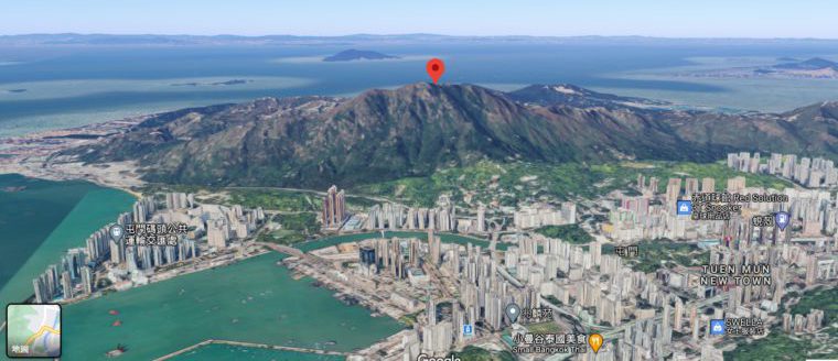
青山
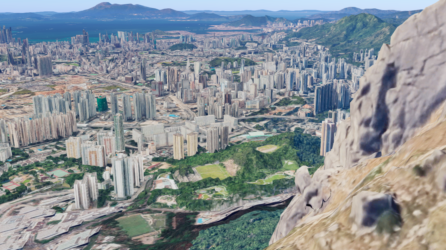
Google Map 最近更新街景影像之外,亦新增3D圖像顯示,大家可以睇清地理環境,欣賞香港郊野環境,亦方便了解行山路線情況。(只限桌上版本)
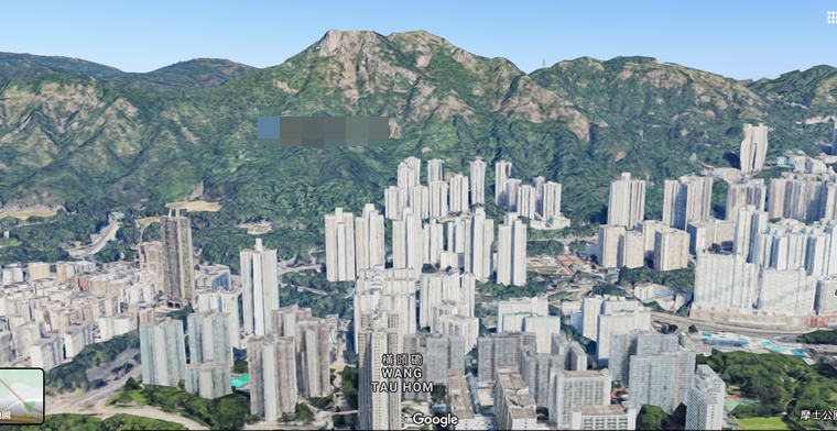
獅子山似乎有啲走樣
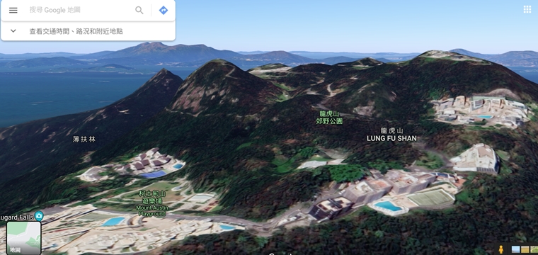
太平山
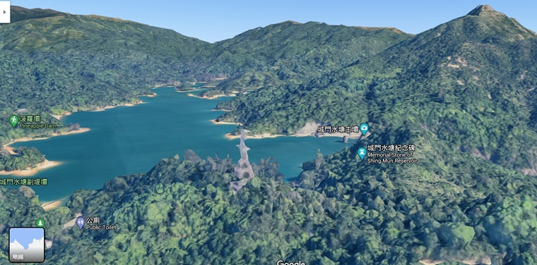
城門水塘
自殺崖
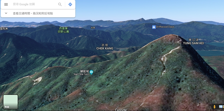
蚺蛇尖
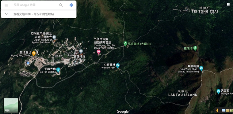
使用方法 (桌上版本)
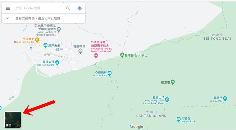
於 Google Map click 左下角,轉做「衛星」
----- 廣告 Ad -----
按住 Ctrl,然後推動 mouse,仲以360度視角睇全景。
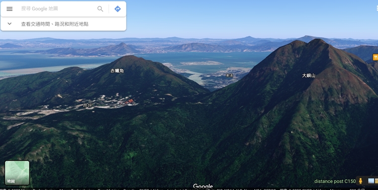
一眼睇到鳳凰山有幾險要
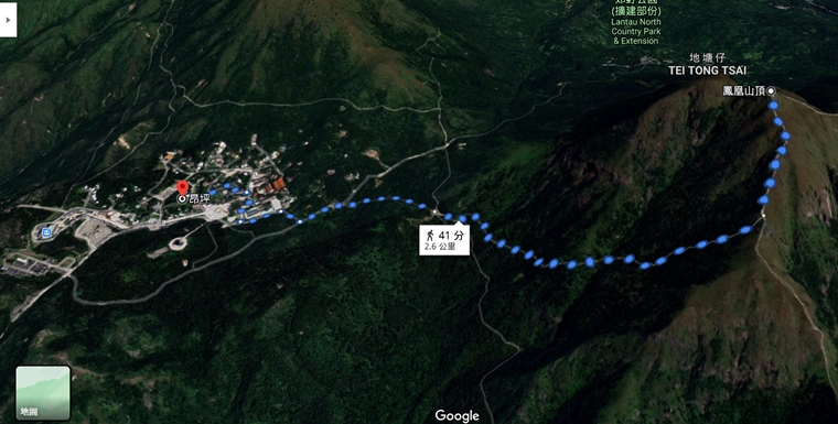
路線圖唔可以推到盡,不過仍然大概睇到地勢。
大家要注意,Google Map 所載行山徑或有遺漏,只能參考,規劃行山路線最好用紙本地圖。
朱溫
生於亂世,有種責任。這個責任就是做好自己,感染別人。鍛練好身體,才能裝備自己,迎接亂世。